Lesson summary
In this lesson, students use an online Geographical Information System (GIS) and data from Australia’s leading citizen science program, ClimateWatch, to create their own local species maps. Students will then use information in their maps to create a field guide for a ClimateWatch indicator species that is specific to the geography of your local environment.
Learning intentions:
Students will...
- understand the role of citizen science in geography
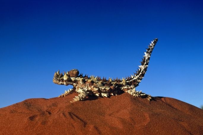
- understand how certain species are connected to the wider environment
- be able to use simple GIS functions
Success criteria:
Students can...
- describe the work of an active citizen science project
- research and report on a species' connection to its environment
- use GIS technology to investigate species data
- write a field guide that includes geographical information
Lesson guides and printables

Lesson details
Curriculum mapping
Australian curriculum content descriptions:
Year 9 Geography:
- Represent spatial distribution of geographical phenomena by constructing special purpose maps that conform to cartographic conventions, using spatial technologies as appropriate (ACHGS066).
- Identify how geographical information systems (GIS) might be used to analyse geographical data and make predictions (ACHGS069).
- Present findings, arguments and explanations in a range of appropriate communication forms, selected for their effectiveness and to suit audience and purpose; using relevant geographical terminology, and digital technologies as appropriate (ACHGS070).
Year 10 Geography:
- Represent spatial distribution of geographical phenomena by constructing special purpose maps that conform to cartographic conventions, using spatial technologies as appropriate (ACHGS075).
- Identify how geographical information systems (GIS) might be used to analyse geographical data and make predictions (ACHGS078).
- Present findings, arguments and explanations in a range of appropriate communication forms, selected for their effectiveness and to suit audience and purpose; using relevant geographical terminology, and digital technologies as appropriate (ACHGS079).
Syllabus outcomes: GE5-7, GE5-8.
General capabilities: Information and CommunicationTechnology (ICT) Capability, Critical and Creative Thinking.
Cross-curriculum priority: Sustainability OI.2.
Relevant parts of Year 9 Geography achievement standards: Students analyse interconnections between people, places and environments and explain how these interconnections influence people, and change places and environments. They predict changes in the characteristics of places over time and identify the possible implications of change for the future.
Relevant parts of Year 10 Geography achievement standards: Students identify, analyse and explain significant interconnections between people, places and environments and explain changes that result from these interconnections and their consequences.
Unit of work: ClimateWatch: Citizen Science – Geography – Years 9 & 10.
Time required: 80 mins.
Level of teacher scaffolding: Medium – teachers will facilitate the use of online GIS technology and a group research activity.
Resources required
- Student Worksheets (one copy per student)
- Data projector and connected internet-enabled device
- Enough internet-enabled devices to allow students to conduct paired research
- A range of whiteboard markers
- A stack of sticky notes
Skills
- Collaboration
- Communication
- Community engagement
- Creativity
- Critical thinking
- Digital literacy
- Problem solving
Additional info
The lessons in this unit have been developed in partnership with Earthwatch.
Earthwatch developed the ClimateWatch program with the Bureau of Meteorology and The University of Melbourne to understand how changes in temperature and rainfall are affecting the seasonal behaviour of Australia’s plants and animals.
Welcome back!
Don't have an account yet?
Log in with:
By signing up to Cool.org you consent and agree to Cool's privacy policy to
store, manage and process your personal information. To read more, please see
our privacy policy here(Opens in new tab).
Create your free Cool.org account.
Many of our resources are free, with an option to upgrade to Cool+ for premium content.
Already have an account?
Sign up with:
By signing up to Cool.org you consent and agree to Cool's privacy policy to
store, manage and process your personal information. To read more, please see
our privacy policy here(Opens in new tab).