Lesson summary
Students will explore the differences between hazard, risk and disaster. They will identify hazards in their local area and categorise them as natural or human-made. In groups, they will choose one natural hazard in their local area and investigate its causes, risk factors and the potential effects on natural and human environments. Using this information, they will produce an infographic to educate the community about the natural hazard.
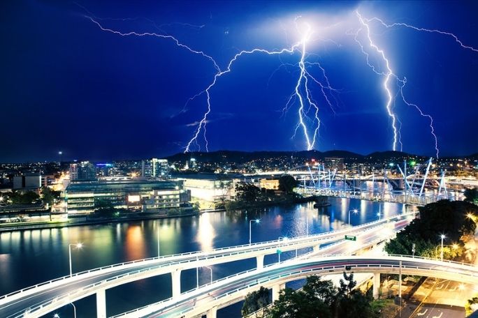
The lessons in this unit are designed to inform students about natural hazards in the local environment and ways to reduce risk, prepare, respond and recover from a disaster or emergency.
Learning intentions:
Students will...
- understand the difference between a hazard and a risk
- understand the difference between a natural hazard and a disaster
- explore the different kinds of natural hazards that can occur locally.
Success criteria:
Students can...
- categorise natural and human-made hazards
- identify and explain the risks and potential effects of natural hazards in their local area.
Lesson guides and printables

Lesson details
Curriculum mapping
Australian Curriculum content descriptions:
Year 7 Geography:
- Causes, impacts and responses to an atmospheric or hydrological hazard (ACHGK042)
- The way that flows of water connects places as it moves through the environment and the way this affects places (ACHGK038)
- Present findings, arguments and ideas in a range of communication forms selected to suit a particular audience and purpose; using geographical terminology and digital technologies as appropriate (ACHGS053)
Year 8 Geography:
- Different types of landscapes and their distinctive landform features (ACHGK048)
- Causes, impacts and responses to a geomorphological hazard (ACHGK053)
- Present findings, arguments and ideas in a range of communication forms selected to suit a particular audience and purpose; using geographical terminology and digital technologies as appropriate (ACHGS061)
Syllabus outcomes: GE4-1, GE4-2, GE4-3, GE4-4, GE4-5, GE4-8
General capabilities: Literacy, Information and Communication Technology (ICT) Capability
Cross-curriculum priority: Sustainability
Relevant parts of Year 7 achievement standards:
Students describe geographical processes that influence the characteristics of places and how the characteristics of places are perceived and valued differently. They explain interconnections between people and places and environments and describe how these interconnections change places and environments. Students present findings and arguments using relevant geographical terminology and digital technologies in a range of communication forms.
Relevant parts of Year 8 achievement standards:
Students explain geographical processes that influence the characteristics of places and explain how places are perceived and valued differently. They explain interconnections within environments and between people and places and explain how they change places and environments. Students present findings, arguments and ideas using relevant geographical terminology and digital technologies in a range of appropriate communication forms.
This lesson is part of the wider unit of work Disaster Resilience Education – Years 7 & 8
Time required: 70 mins
Level of teacher scaffolding: Medium – facilitate class discussion, lead students in activities
Resources required
- Device capable of presenting images to the class
- Internet capable devices for student research
- Student Worksheets – one copy per student
Skills
This lesson is designed to build students’ competencies in the following skills:
- Communication
- Critical thinking
- Digital literacy
- Empathy
- Collaboration
Additional info
These lessons were designed in consultation with the Australian Institute for Disaster Resilience.
Welcome back!
Don't have an account yet?
Log in with:
By signing up to Cool.org you consent and agree to Cool's privacy policy to
store, manage and process your personal information. To read more, please see
our privacy policy here(Opens in new tab).
Create your free Cool.org account.
Many of our resources are free, with an option to upgrade to Cool+ for premium content.
Already have an account?
Sign up with:
By signing up to Cool.org you consent and agree to Cool's privacy policy to
store, manage and process your personal information. To read more, please see
our privacy policy here(Opens in new tab).