Lesson summary
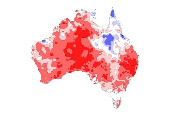
Students explore what elements need to be present in the environment in order for a fire to start and keep burning: oxygen, fuel, and heat. They use these elements in combination with maps of Australia as a way of predicting where bushfires are likely to occur. They think creatively to design ways to predict and detect bushfires.
Learning intentions:
Students will...
- understand ways of predicting where and when a fire is about to start in the bush.
Success criteria:
Students can...
- describe the three key ‘ingredients’ of a fire
- use these elements in combination with maps of Australia as a way of predicting where bushfires are likely to occur
- design ways we can use technology to predict and detect these fires in the bush.
Lesson guides and printables

Lesson details
Curriculum mapping
Australian Curriculum content descriptions:
Year 6 HASS Geography:
- Sudden geological changes and extreme weather events can affect Earth’s surface (ACSSU096).
Relevant parts of Year 6 HASS Geography achievement standards: Students propose action in response to a geographical challenge and describe the probable effects of their proposal.
General capabilities: Literacy, Critical and Creative Thinking.
Cross-curriculum priority: Sustainability.
Level of teacher scaffolding: Medium – Facilitate class discussion and explicit learning, support students in independent tasks.
Resources required
- Blank maps of Australia – one per student
- Coloured pencils or textas
- Device capable of presenting a video to the class
- Individual devices capable of accessing the internet – one per student
- Maps – PowerPoint
- White paper – A4 in size – one per student.
Skills
This lesson is designed to build students’ competencies in the following skills:
- Creativity
- Critical thinking
Additional info
We encourage you to undertake the free PD Course How to teach a unit on fire and flood resilience for tips on how to best deliver this lesson.
If you’re concerned about the challenging nature of these topics, consider the free PD Course How to approach trauma in the classroom for information on how best to support your students.
This lesson was made in partnership with
Minderoo Foundation (www.minderoo.org).
Welcome back!
Don't have an account yet?
Log in with:
By signing up to Cool.org you consent and agree to Cool's privacy policy to
store, manage and process your personal information. To read more, please see
our privacy policy here(Opens in new tab).
Create your free Cool.org account.
Many of our resources are free, with an option to upgrade to Cool+ for premium content.
Already have an account?
Sign up with:
By signing up to Cool.org you consent and agree to Cool's privacy policy to
store, manage and process your personal information. To read more, please see
our privacy policy here(Opens in new tab).