Lesson summary
Students will analyse maps and create an infographic to communicate their understanding of the climate of a state or region in Australia and a natural hazard that typically occurs in the state or region.
Learning intentions:
Students will...
- identify the different types of climates in Australia
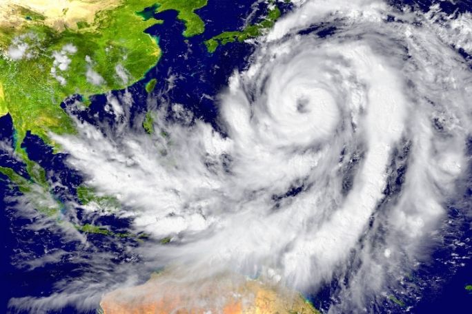
- explore the prevalence of different types of natural hazards in Australia
- connect the prevalence of natural hazards to Australia’s diverse climate zones.
Success criteria:
Students can...
- label a map of Australia with information about climate, environment and natural hazards
- predict where hazards are most likely to occur in Australia.
Lesson guides and printables

Lesson details
Curriculum mapping
Australian Curriculum content descriptions:
Syllabus outcomes: GE4-2.
General capabilities: Literacy.
Cross-curriculum priority: Sustainability.
Relevant parts of Year 7 & 8 Geography achievement standards: By the end of year 8, students will have developed geographical knowledge, understanding and skills provided through the inclusion of inquiry questions and specific inquiry skills, including the use and interpretation of maps, and photographs and other representations of geographical data.
Level of teacher scaffolding: Medium – facilitate small group work and class discussion.
Resources required
- A device and access to an infographic program (e.g., Canva, Piktochart) OR poster paper
- Student Worksheets – one copy per student
Skills
This lesson is designed to build students’ competencies in the following skills:
- Communication
- Critical thinking
- Cultural understanding
- Problem solving
- Collaboration
Additional info
We encourage you to undertake the free PD Course How to teach a unit on fire and flood resilience for tips on how to best deliver this lesson.
If you’re concerned about the challenging nature of these topics, consider the free PD Course How to approach trauma in the classroom for information on how best to support your students.
This lesson was made in partnership with
Minderoo Foundation (www.minderoo.org).
Welcome back!
Don't have an account yet?
Log in with:
By signing up to Cool.org you consent and agree to Cool's privacy policy to
store, manage and process your personal information. To read more, please see
our privacy policy here(Opens in new tab).
Create your free Cool.org account.
Many of our resources are free, with an option to upgrade to Cool+ for premium content.
Already have an account?
Sign up with:
By signing up to Cool.org you consent and agree to Cool's privacy policy to
store, manage and process your personal information. To read more, please see
our privacy policy here(Opens in new tab).