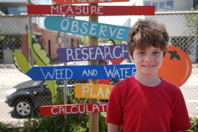
Lesson summary
Students create a map of an area of their neighbourhood. Students begin by clarifying their understanding of key terms relating to this lesson and then work as a class to consider the information that standard maps (such as Google Maps) do or don’t contain, and work in groups to develop a series of questions to help guide their observations on a walk. They then take a walk around a part of their neighbourhood to identify and record key human-made, animal and environmental features. Back in the classroom, students work in groups or as a class to create a map of their neighbourhood that incorporates the features they identified. Finally, students reflect on how some of the features of their neighbourhood could be improved.
Learning intentions:
Students will...
- understand the differences between human-made, animal and environmental features
- understand how a map can be used to portray a range of information
Success criteria:
Students can...
- collect data about their neighbourhood
- identify and locate features on a map
- annotate maps according to mapping conventions
- work collaboratively
Lesson guides and printables

Lesson details
Curriculum mapping
Australian curriculum content descriptions:
Year 3 HASS:
- Pose questions to investigate people, events, places and issues (ACHASSI052)
- Locate and collect information and data from different sources, including observations (ACHASSI053)
- Record, sort and represent data and the location of places and their characteristics in different formats, including simple graphs, tables and maps, using discipline-appropriate conventions (ACHASSI054)
Year 4 HASS:
- Pose questions to investigate people, events, places and issues (ACHASSI073)
- Locate and collect information and data from different sources, including observations (ACHASSI074)
- Record, sort and represent data and the location of places and their characteristics in different formats, including simple graphs, tables and maps, using discipline-appropriate conventions (ACHASSI075)
Year 5 HASS:
- Develop appropriate questions to guide an inquiry about people, events, developments, places, systems and challenges (ACHASSI094)
- Locate and collect relevant information and data from primary sources and secondary sources (ACHASSI095)
- Organise and represent data in a range of formats including tables, graphs and large- and small-scale maps, using discipline-appropriate conventions (ACHASSI096)
Year 6 HASS:
- Develop appropriate questions to guide an inquiry about people, events, developments, places, systems and challenges (ACHASSI122)
- Locate and collect relevant information and data from primary sources and secondary sources (ACHASSI123)
- Organise and represent data in a range of formats including tables, graphs and large- and small-scale maps, using discipline-appropriate conventions (ACHASSI124)
NESA and VCAA: Click here for NESA and VCAA curriculum links for this lesson.
General capabilities: Critical and Creative Thinking
Cross-curriculum priority: Sustainability OI.5
Relevant parts of Year 3 HASS achievement standards: Students pose questions and locate and collect information from sources, including observations, to answer these questions. They record and represent data in different formats, including labelled maps using basic cartographic conventions.
Relevant parts of Year 4 HASS achievement standards: Students develop questions to investigate. They locate and collect information and data from different sources, including observations to answer these questions. They sort, record and represent data in different formats, including large-scale maps using basic cartographic conventions.
Relevant parts of Year 5 HASS achievement standards: Students develop questions for an investigation. They locate and collect data and information from a range of sources to answer inquiry questions. They sort, record and represent data in different formats, including large-scale and small-scale maps, using basic conventions.
Relevant parts of Year 6 HASS achievement standards: Students develop appropriate questions to frame an investigation. They locate and collect useful data and information from primary and secondary sources and organise and represent data in a range of formats, including large- and small-scale maps, using appropriate conventions.
Unit of work: Roots & Shoots – Upper Primary
Time required: 170+ mins
Level of teacher scaffolding: High – lead students in observing school yard and creating map
Resources required
- Student Worksheets – one copy per student
- Device for taking photos, such as camera, tablet or phone
- School map
- Printed neighbourhood map of area being explored.
- Younger students – Printed map of part of your neighbourhood you want to explore (e.g. from Google Maps).
- Older students – Device for accessing map-making program, such as a computer or tablet
- Access to ZeeMaps
Skills
- Collaboration
- Communication
- Creativity
- Critical thinking
Additional info
This lesson has been developed in partnership with Jane Goodall’s Roots & Shoots program. Roots & Shoots is a global youth-led program of young people taking action to improve our world. By participating in this lesson, you and your students will be joining thousands of young people and teachers working to make positive change in our world.
Welcome back!
Don't have an account yet?
Log in with:
By signing up to Cool.org you consent and agree to Cool's privacy policy to
store, manage and process your personal information. To read more, please see
our privacy policy here(Opens in new tab).
Create your free Cool.org account.
Many of our resources are free, with an option to upgrade to Cool+ for premium content.
Already have an account?
Sign up with:
By signing up to Cool.org you consent and agree to Cool's privacy policy to
store, manage and process your personal information. To read more, please see
our privacy policy here(Opens in new tab).